
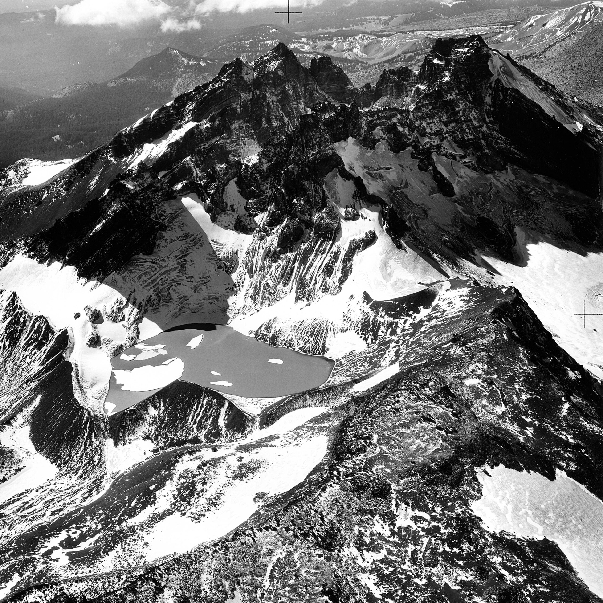
On September 29, 1961, researchers photographed Bend Glacier, an alpine glacier on the northern side of Oregon’s Broken Top volcano in the Cascade Range. Taken near the end of the summer melt season, the image records the glacier after months of seasonal snow and ice loss—an especially useful point in the annual cycle for comparing its extent over time.
During the twentieth century, scientists and federal agencies documented glaciers across the Cascade Range to better understand regional water supplies, snowfall patterns, and changing climate conditions. Photographs, maps, and repeat surveys provided a visual and scientific record of changes in glacier size, ice thickness, and surface features such as crevasses.
Today, historical images like this one help researchers compare past and present glacier conditions on the volcanic peaks of the Pacific Northwest. They form part of the longer record used to assess the widespread retreat of Cascade glaciers in response to warmer temperatures and changing precipitation patterns.
Image credit: Aerial geological view of Bend Glacier, September 29, 1961, via Wikimedia Commons, public domain.