
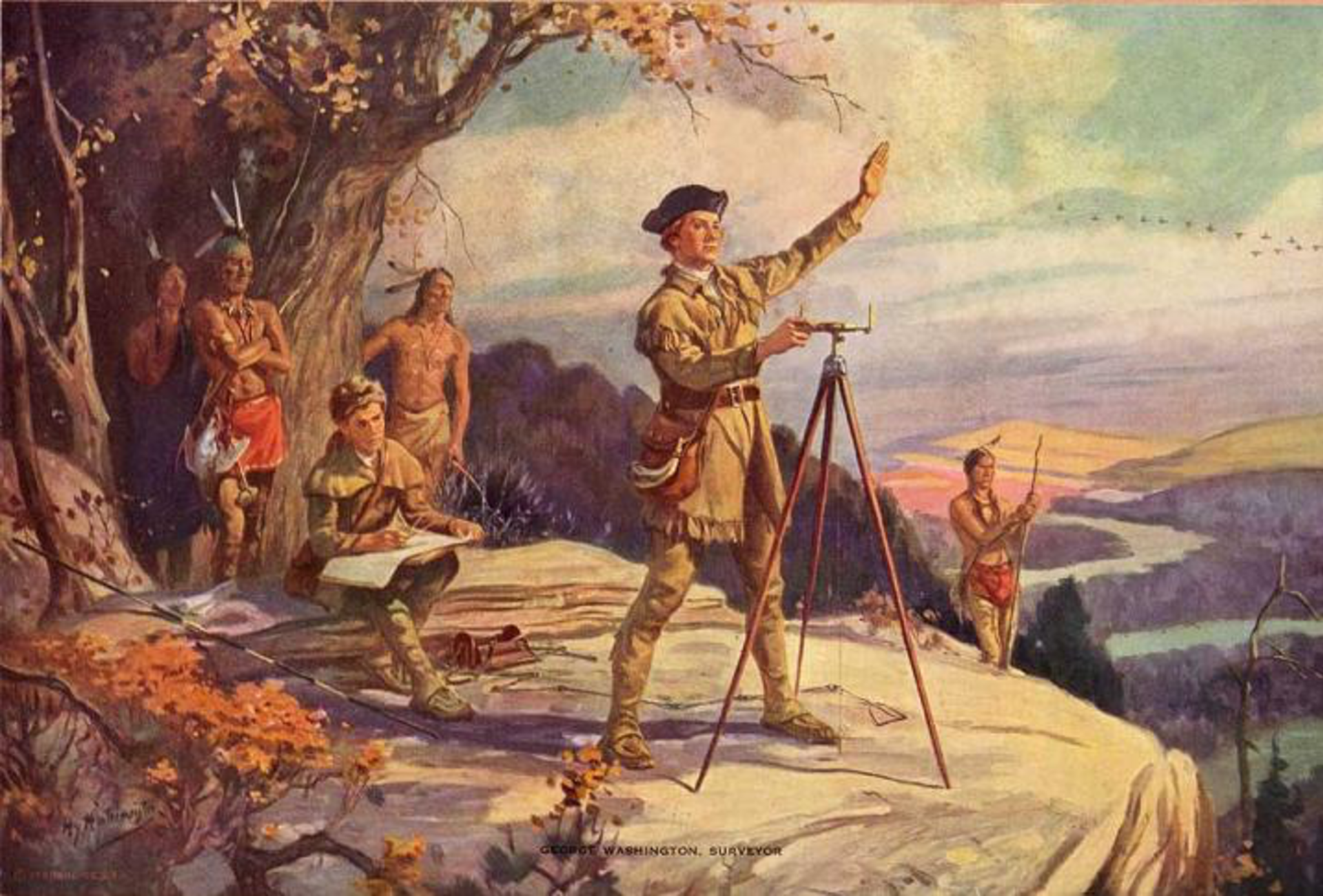
On July 20, 1749, seventeen‑year‑old George Washington was officially appointed surveyor of Culpeper County, Virginia. This early professional milestone set the young Virginian on a rigorous path of mapmaking, wilderness exploration, and land assessment along the rugged edge of the British colony. The demanding position required precision, mathematics, and physical endurance, forcing him to quickly develop habits of self‑reliance and meticulous record‑keeping.
This youthful appointment did far more than provide Washington with steady income; it laid the strategic groundwork for his future military command. Years spent measuring the dense, unmapped wilderness of the Blue Ridge Mountains gave him an intimate understanding of American geography, topography, and frontier logistics. Decades later, during the American Revolution, this precise mental map of the colonial backcountry allowed him to outmaneuver seasoned British generals who were effectively blind to the tactical realities of the terrain.
Image via Wikimedia Commons, public domain