
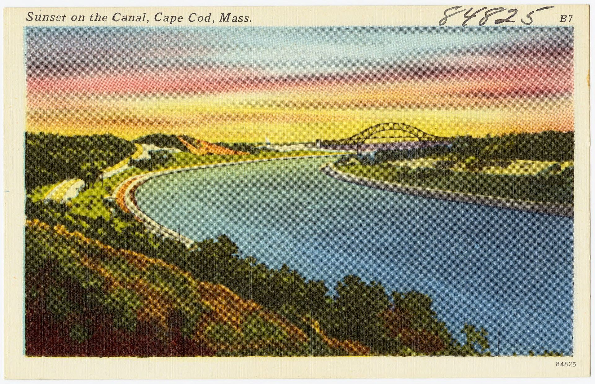
For centuries, navigating the treacherous waters around the forearm of Cape Cod was a nightmare for mariners, resulting in thousands of shipwrecks along its shifting Atlantic shoals. The solution was an engineering marvel that culminated at Buzzards Bay, Massachusetts, on July 29, 1914, when the Cape Cod Canal officially opened to vessel traffic. The seven-mile-long sea-level waterway sliced directly through the narrow neck of land connecting the Cape to the Massachusetts mainland, completely transforming the region’s geography and effectively turning a historic peninsula into a man-made island.
The canal drastically shortened shipping routes between New York and Boston, providing a safe, protected passage away from the violent outer-Cape storms. It required shifting millions of cubic yards of earth and overcoming immense tidal pressures from the opposing bays. Beyond its commercial utility, the canal permanently altered the ecology and local character of the region, introducing a stark, deep water barrier where rolling hills once stood.
The canal altered the cultural identity of Cape Cod forever. What was once a remote, continuous extension of the New England coast became an isolated sanctuary accessible only by bridges. This geographic split created a powerful psychological boundary for generations of travelers, cementing the crossing of the canal as the exact emotional moment one leaves the frantic pace of the mainland behind for the slower rhythm of the island.