
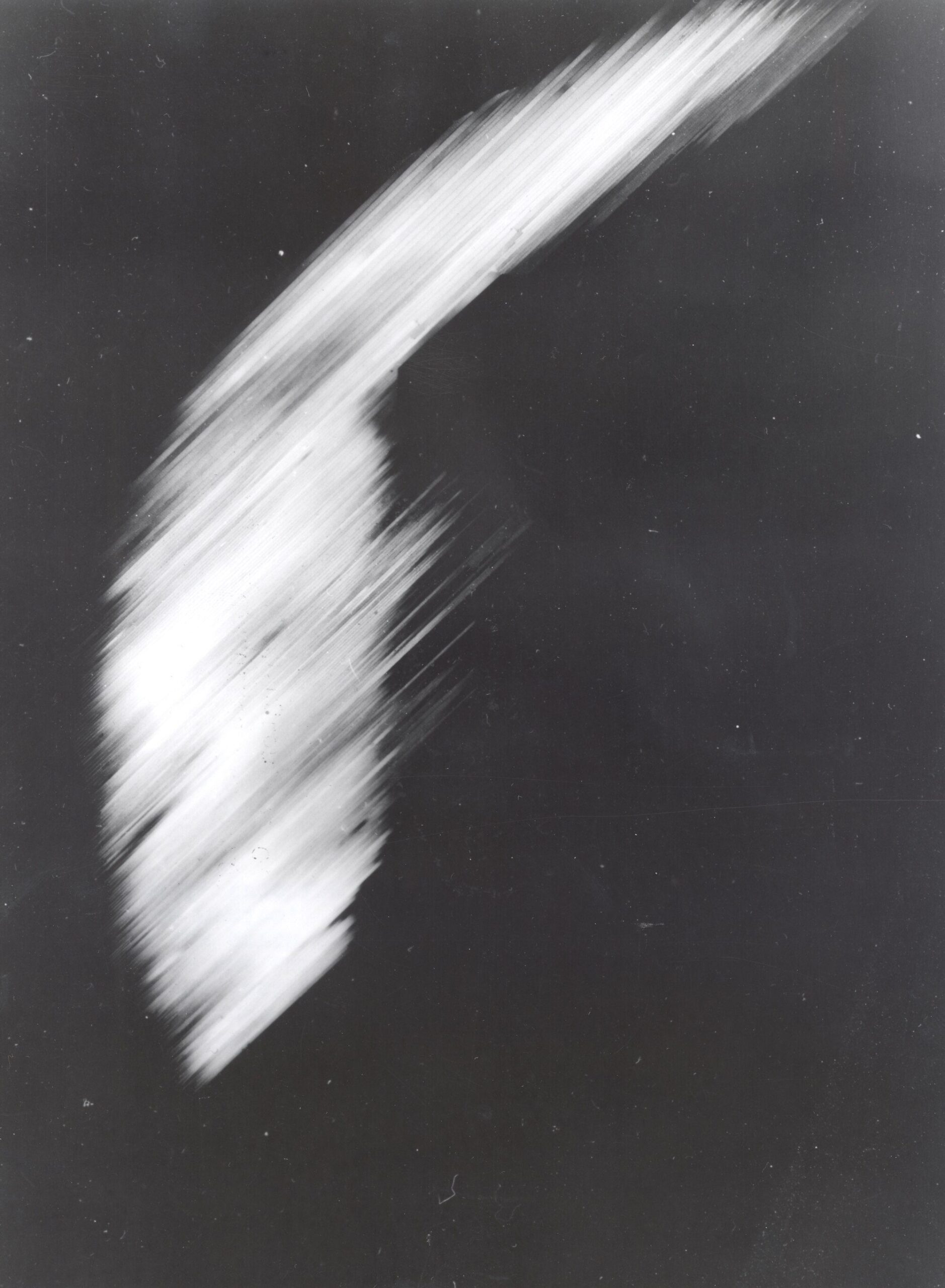
First satellite photo of Earth taken on August 14, 1959, by NASA’s Explorer VI.
This crude, heavily pixelated image transmitted by Explorer VI on August 14th was a monumental, system-shaking milestone that marked the absolute dawn of modern space-based earth science. Taken from a distance of over 17,000 miles above the surface as the satellite orbited over the Pacific Ocean, the historic photograph showed a sun-lit crescent of the planet and a swirling mass of clouds, relayed back to ground stations via a primitive television scanning system. While the visual quality was incredibly low by modern standards, the transmission successfully proved that human instruments could reliably observe and map global weather patterns from the vacuum of space, fundamentally changing humanity’s geographic perspective of our home world.