
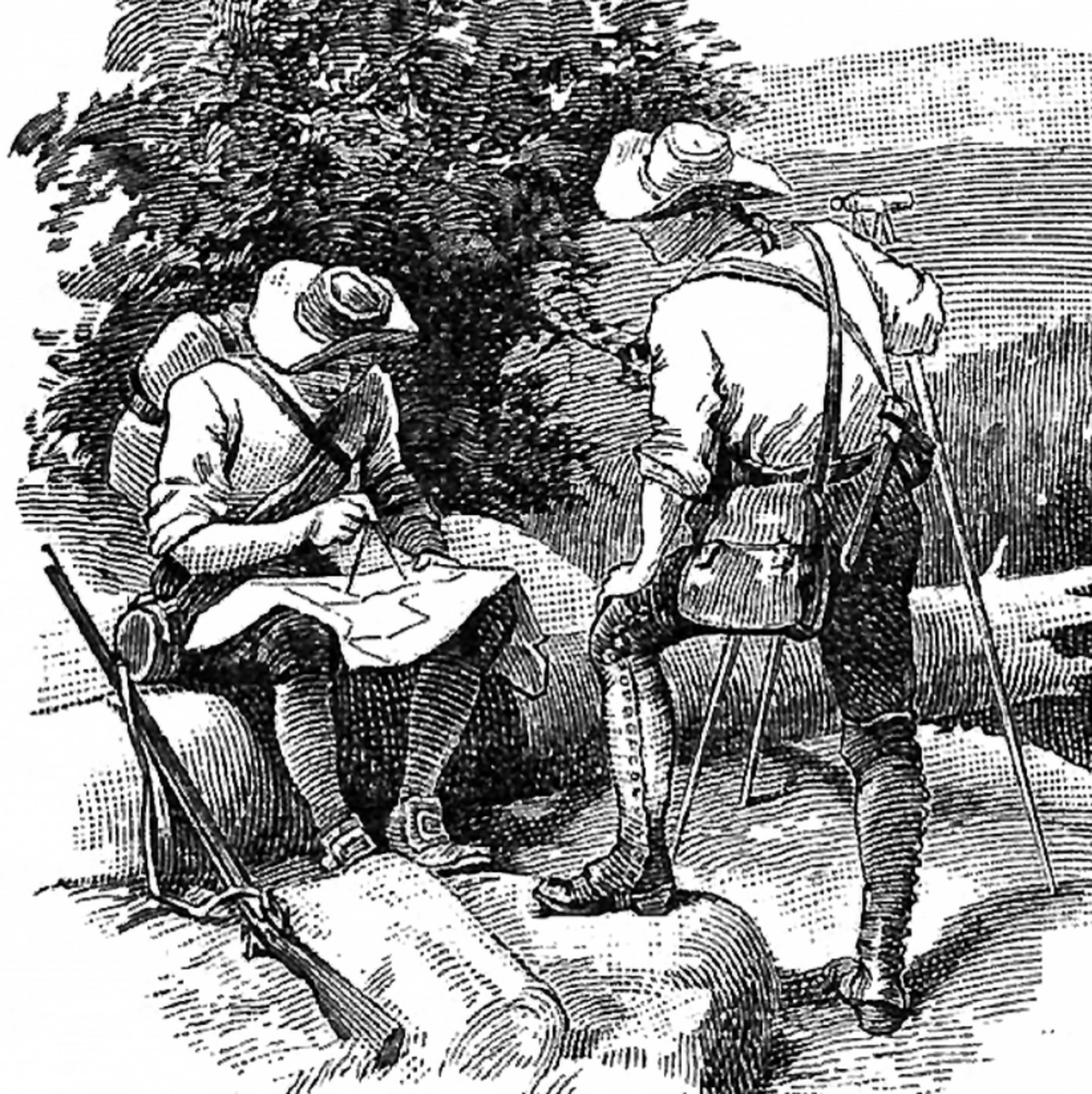
In October 1767, English astronomer Charles Mason and surveyor Jeremiah Dixon reached the western limit of the most famous boundary survey in colonial America. Working for the Penn family of Pennsylvania and the Calvert family of Maryland, they had spent nearly four years resolving a bitter—and at times violent—dispute over the border between the two proprietary colonies.
The expedition had pushed west through difficult, heavily forested country, using astronomical observations and painstaking ground measurements to establish the line at roughly 39°43′ north latitude. By early October, the survey party had reached the area around Dunkard Creek and Brown’s Hill, near today’s Pennsylvania–West Virginia boundary. There, their Iroquois escort refused to travel farther west beyond the Catawba War Path, where it could no longer guarantee the party’s safety amid tensions with Native peoples farther west. Mason and Dixon continued briefly, then spent about 10 days making astronomical observations before fixing their terminal point on Brown’s Hill around October 19—about 23 miles short of their intended destination.
Despite ending short of its projected western terminus, the survey was a remarkable technical achievement. Mason and Dixon used instruments including astronomical quadrants, a zenith sector, transit equipment, precision clocks, and measuring rods to produce an exceptionally accurate boundary for the era. They marked the route with stones at mile intervals; every fifth mile received a larger “crownstone” bearing the Penn arms on the Pennsylvania side and the Calvert arms on the Maryland side.
Originally, the Mason–Dixon Line was a property boundary intended to settle colonial claims, not a moral or political division. Yet in the nineteenth century—especially during and after debates surrounding the Missouri Compromise—it became a potent shorthand for the divide between North and South and, more broadly, between free and slaveholding regions. That symbolic role obscures its original purpose, but it shows how a technical survey through the colonial wilderness came to shape the political and cultural geography of the United States.

Great information! Thank you!