
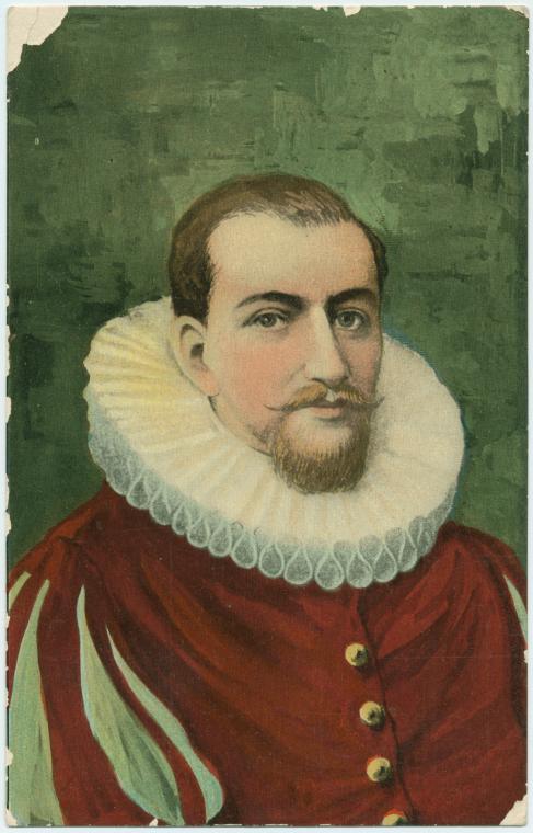
On August 28, 1609, English navigator Henry Hudson, commanding the Dutch East India Company vessel Halve Maen (Half Moon), sailed into a “great bay with rivers,” marking the first recorded European exploration of the Delaware Bay. Searching for a maritime route to Asia, Hudson anchored briefly within the expansive, untamed coastal estuary before standing out to sea again to continue his journey northward along the low sandy beaches of present-day New Jersey.
The geographic entry on August 28th served as a pivotal piece of reconnaissance that reshaped the colonial layout of the Mid-Atlantic frontier. Recognizing the commercial potential of the region’s natural harbors and river networks, Hudson meticulously recorded soundings and shoreline topography for his directors in Amsterdam. Although he quickly realized the bay’s shallow shoals offered no passage to the Pacific, his logs provided the chart data necessary for Dutch legal claims over the fur-rich territory.
Hudson’s brief anchorage laid the cartographic groundwork for the establishment of New Netherland. By documenting the western shores with precision, his expedition catalyzed a wave of Dutch corporate migration, leading to the construction of trading outposts along the Delaware and Hudson valleys. The 1609 landfall remains a defining moment in Atlantic exploration, capturing the instant native waters entered global trade routes.
Image: An idealized 19th-century illustration of Henry Hudson, created centuries after his death to represent the explorer. (NYPL Digital Collections, public domain).