
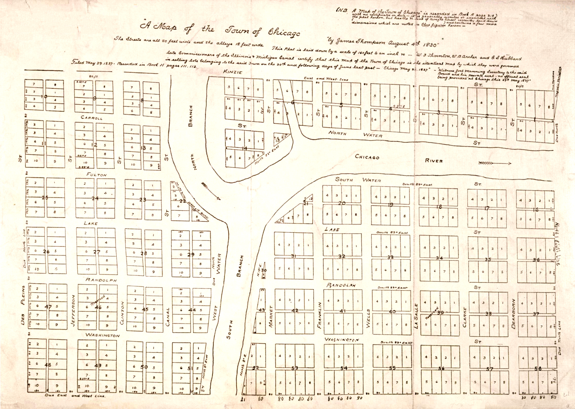
This first grid layout of the City of Chicago was created on August 4, 1830, by surveyor James Thompson.
Thompson’s original map, known as the “Thompson Plat,” was commissioned to survey land for the construction of the Illinois and Michigan Canal, which would link the Great Lakes to the Mississippi River. The initial grid covered an area of just three-eighths of a square mile, defining a small trading outpost populated by fewer than a hundred residents. By laying out wide, uniform streets and carving the swampland into clean, marketable real estate lots, Thompson established the structural blueprint that would transform Chicago into a booming metropolis.
Image: Thompson’s plat of Chicago via Wikimedia Commons, public domain