
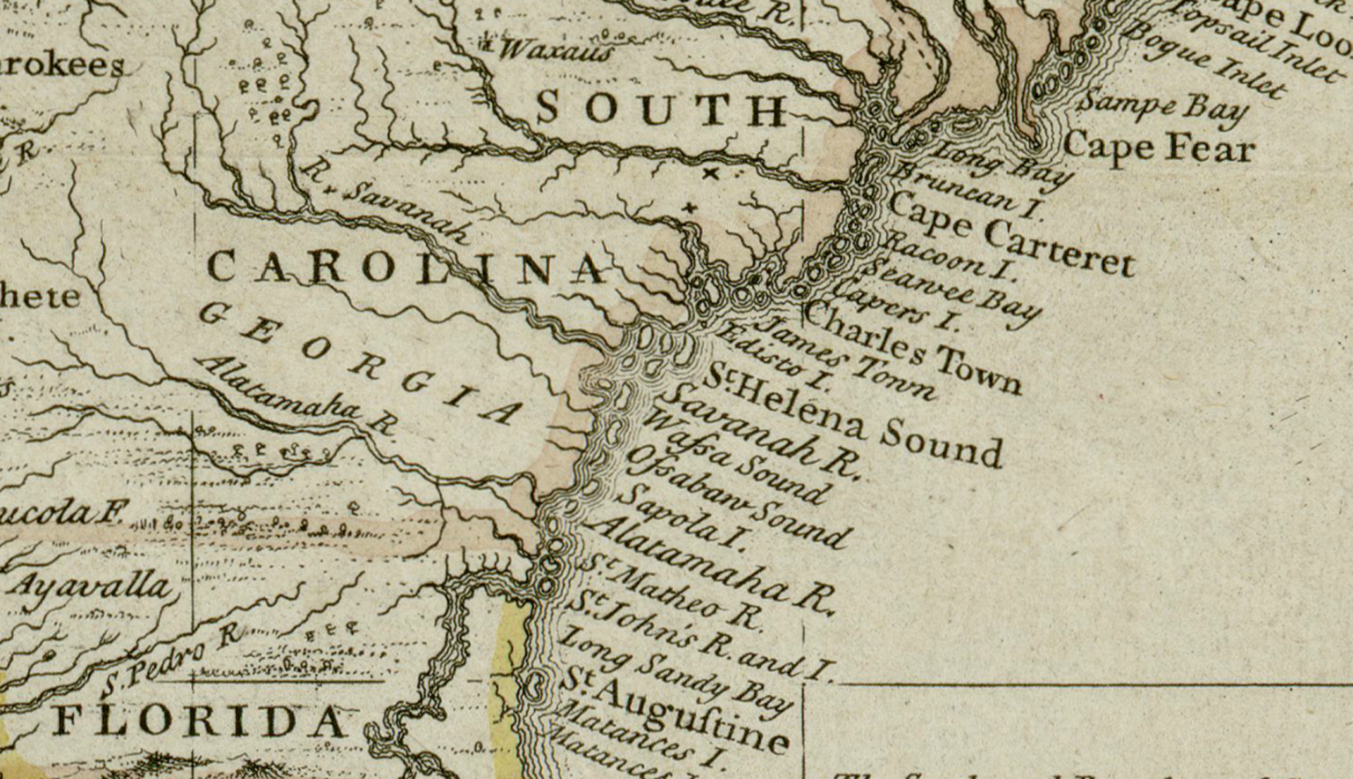
On July 6, 1680, according to municipal records and long‑standing local tradition, the Surveyor General of Carolina formally recognized a 2,340‑acre property grant to Captain Florentia O’Sullivan, establishing the earliest legal land title associated with what is now Mount Pleasant. Adopted by the modern town government as its official historical baseline, this administrative act marked the moment the area entered the documented colonial landscape, securing a vital waterfront buffer zone directly across the harbor from Charlestown.
Although later community memory reshaped this filing into a physical landing event, settlement in the region developed gradually. In 1696, a group of New England Congregationalist settlers migrated to the area, establishing productive farms that colonial authorities formally organized as Christ Church Parish in 1706. Their disciplined agricultural system and tight‑knit religious community gave the lowcountry settlement a distinctive cultural identity unusual for the southern colonies.
The region’s early timber and brick production supplied essential building materials to Charlestown across the harbor, permanently linking the two communities through centuries of shared trade. Today, the date recognized on July 6, 1680 stands as the symbolic moment when a strategic coastal point entered the written record of American history — an enduring testament to the soldiers, farmers, and religious dissenters who shaped the early foundations of the Carolina lowcountry.
Photo Source: Image via Wikimedia Commons, public domain