 (300 x 208 px) (1)")
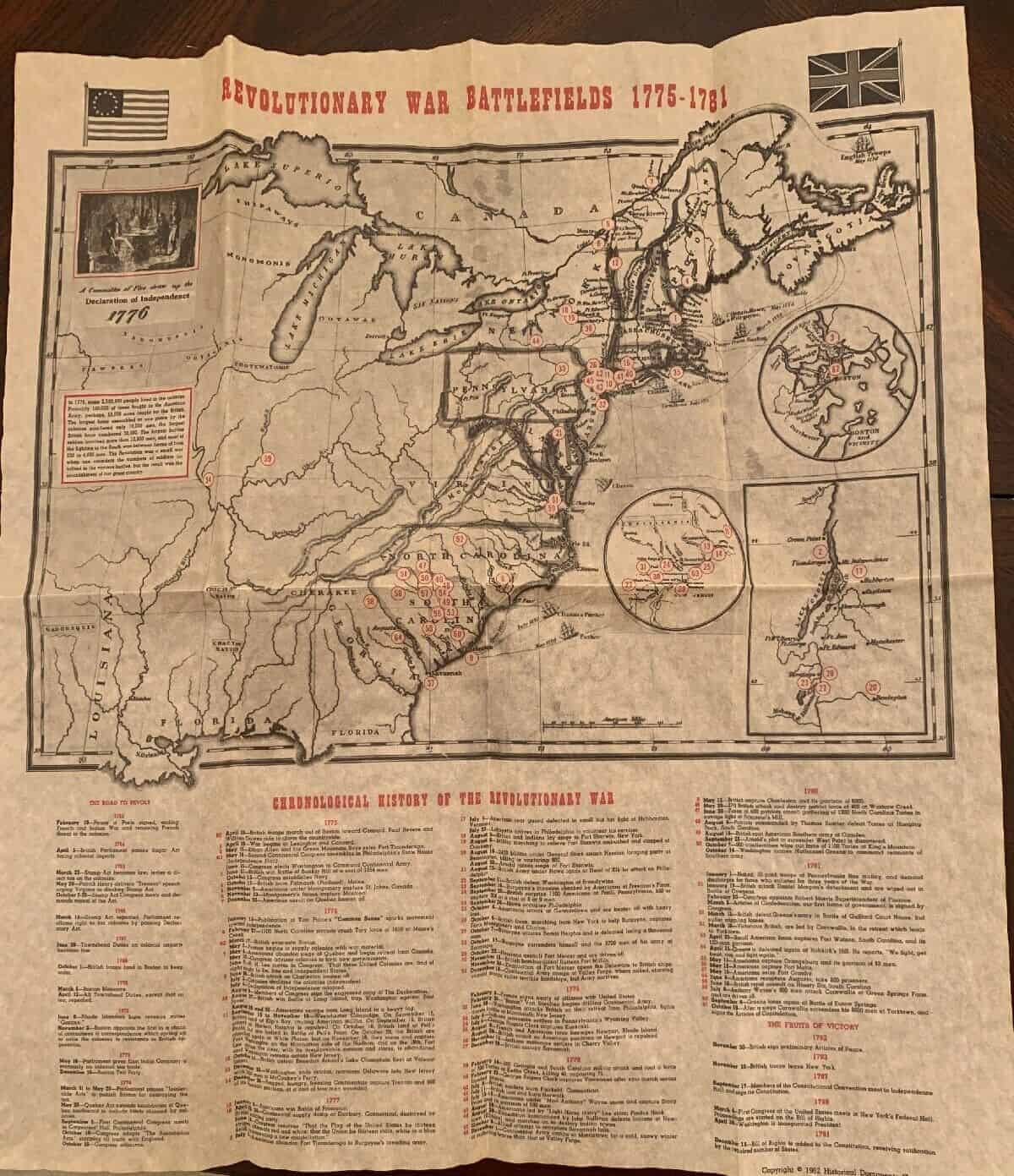
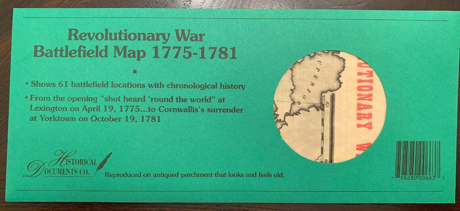
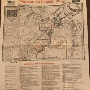


Revolutionary War Battlefield Map 1775–1781 — Replica
This meticulously crafted replica map traces the full arc of the American Revolution, from the first shots at Lexington and Concord to the final allied victory at Yorktown. Designed in the style of late‑18th‑century cartographers, it restores the war’s geography with the clarity, texture, and sense of scale that shaped the decisions of commanders and the fate of the young nation.
Major battle sites are marked with period‑appropriate symbols, allowing viewers to follow the shifting front lines across New England, the Mid‑Atlantic, and the Southern campaigns. Key rivers, mountain ranges, and colonial roads are rendered with the same deliberate linework used by surveyors of the era, grounding each engagement in the terrain that defined it.
Rather than a modern reinterpretation, this map feels like something an officer might have unrolled on a campaign table — a working document of a war fought farm to farm, river to river, and state to state. It invites the viewer to trace Washington’s retreats and advances, the British push inland from coastal strongholds, and the long, grinding southern struggle that ultimately set the stage for independence.
For collectors, educators, and anyone who values the physical story of the Revolution, this replica offers more than decoration. It’s a visual narrative of how thirteen colonies became a nation — one battlefield at a time.
Also available in poster size.


G. H. (verified owner) –