
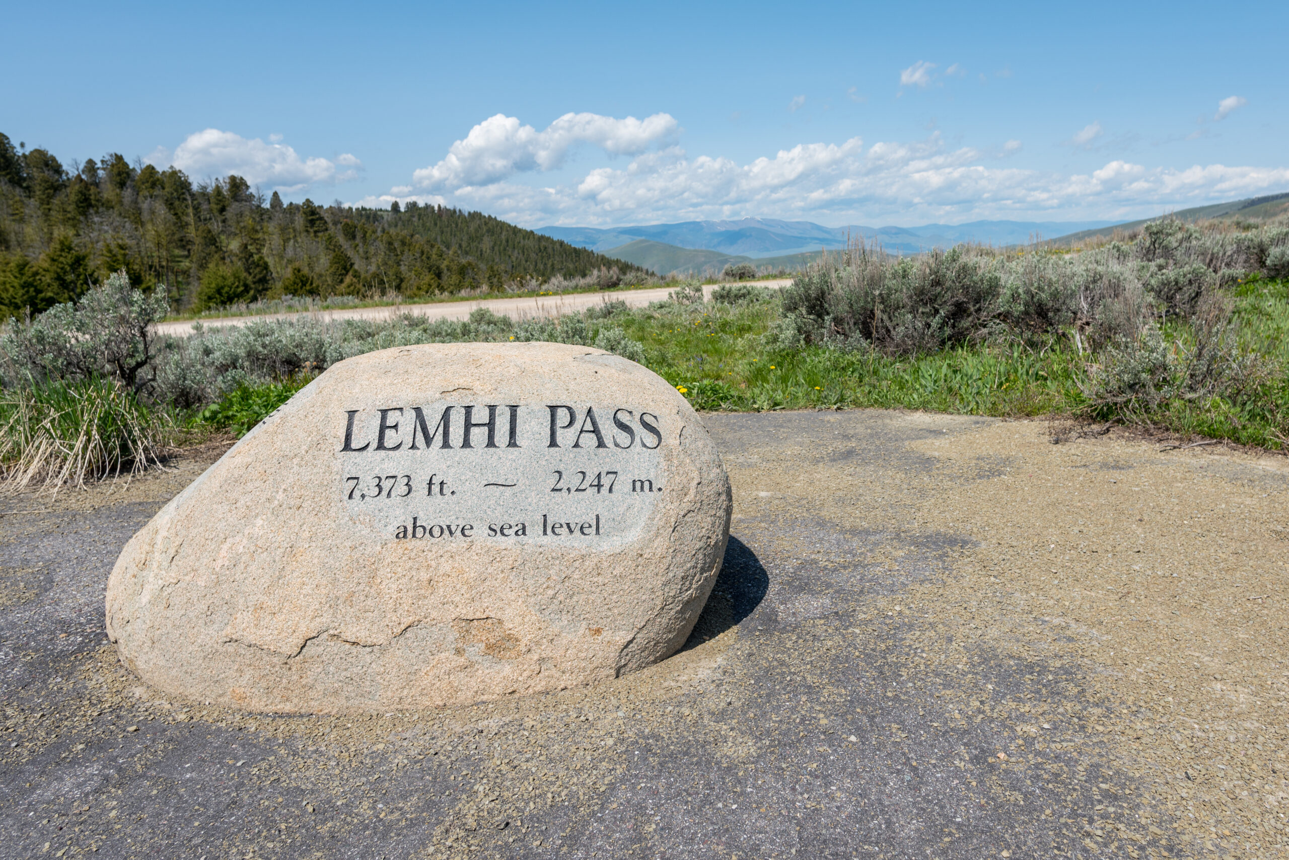
August 12, 1805, marked a profound and sobering turning point for the Corps of Discovery when Meriwether Lewis ascended the Continental Divide at Lemhi Pass. For months, Lewis and his men had pushed up the Missouri River under the comforting, long-held geographic assumption that a short, easy portage separated the Missouri’s headwaters from a matching, westward-flowing river system that would carry them smoothly to the Pacific Ocean. Stepping onto the crest of the pass, Lewis expected to look down upon a vast, navigable water route stretching out toward the western horizon, finally fulfilling Thomas Jefferson’s dream of a Northwest Passage.
Instead of a gentle descent to the sea, Lewis was met with a breathtaking and terrifying geographical reality that instantly shattered Enlightenment-era maps. Stretching out before him as far as the eye could see were the jagged, snow-capped massifs of the Rocky Mountains, a formidable and seemingly endless labyrinth of stone that no boat could ever traverse. In that solitary, staggering moment, the romantic myth of an easy transcontinental water highway died, and the true, daunting scale of the North American continent was revealed to the American consciousness for the very first time.
This dramatic shift from river navigation to mountain survival fundamentally reshaped the strategic nature of the entire expedition. Realizing that their survival now hinged entirely on securing horses and cold-weather survival knowledge to cross the mountains, the Corps was forced to pivot from detached scientific observers to dependent diplomats. When William Clark and the rest of the party caught up, the mission transitioned into an intense reliance on Indigenous diplomacy, specifically seeking out the Shoshone nation whose horses, guidance, and geographic expertise would ultimately make the difference between a historic triumph and a forgotten wilderness tragedy.